


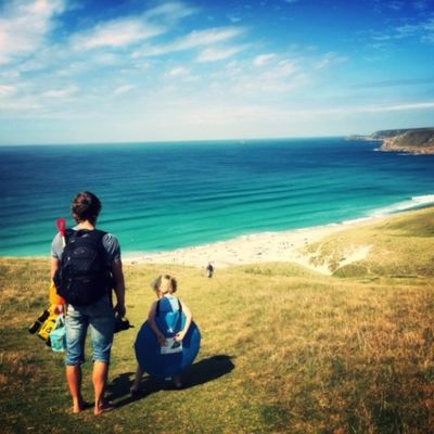
Maps are great but sometimes a navigation system can be a big help. You can easily see exactly where you are, how far you have to go and if you are actually on the correct path. That is why we are now including free GPX files for all of our holidays.
Map lovers needn’t worry as you’ll still receive a 1:2500 map or map booklet.
The GPX files contain the walking routes for each of our daily walks, not only along the coast path but also from door-to-door. This means that they can guide you from your B&B on to the trail and at the day’s end to your next B&B. They also detail total door-to-door distances rather than distances between points on the coast path.
Just contact us and we will send them to you by email.
Most walkers use a smartphone app but they can also be used with GPS devices such as Garmin (if you have one of these devices you probably already know plenty about GPX files).
Assuming you have a smartphone, you will need to choose an app (see below for recommendations). Many apps require you to sign up and offer a variety of subscriptions, some free and others not. It is important that your app will allow you to download maps for offline use (signal can be intermittent on the coast path).
Once you have an app installed and set up, import the GPX files and you are ready to go.
Don’t forget to import your GPX files and download the maps before setting out on the trail.
Once you get past the community and route sharing aspects, this is a great app with a clear interface and a fantastic set of maps. Basic statistics such as distance walked and time remaining are shown (but bizarrely it does not show distance remaining).
GPX files are uploaded through the Alltrails website and not through the app.
The basic version of this app is free but you must subscribe to download maps for offline use. A yearly subscription costs £23.99 but there is a one week free trial available to new users.
This is perhaps the best option for those who prefer a little more help to stay on track. A an easy-to-use interface shows where you are on the map, your preferred statistics (speed, distance and time covered/remaining, gradient, altitude) and Sat Nav style directions. There is the option to turn on voice navigation instructions although this can soon become annoying. Getting the app to turn off can also be a pain.
Unlike other apps you pay for the maps that you download rather than a subscription. New users can download a region for free (these are basic but perfectly adequate maps) and the West Cornwall region map includes the entire coast path from Portreath on the north coast to Falmouth on the south coast. If you are walking the north coast and need to purchase an additional map, the cost is £3.99.
GPX files are uploaded through the app.
The Ordnance Survey topographic maps in this app give the feel of using a real map although the app itself is rather basic. You can see exactly where you are on the map, remaining time and distance and current elevation.
A monthly subscription costs £6.99.
GPX files are uploaded through the OS Maps website and not through the app.
The free version of this app offers an easy to use, no-frills interface. You can download the basic map for offline use and can see where you are on a planned route. There are no statistics (such as distance remaining) but for quick reference to see exactly where you are on the trail, this is a great option.
The paid version costs £5.99/month and offers a wider range of maps.
GPX files are uploaded through the app.
GPS apps can drain a phone battery quickly and so consider turning the app on and off as needed. Before closing the app you will need to finish or stop the route/track/trail that you are following or your phone will most likely keep this running in the background.
When importing GPX files you will need to give them a new name. Try using Day 1, Day 2 etc.
If you have everything that you need and don’t want to be charged for using mobile data, turn this option off on your phone.
GPS altitude and elevation can be inaccurate so take these readings with a pinch of salt.
Remember to cancel any free trials or you will be charged.
Why do we love Cornwall so much? Here are just a few of the reasons...
Take a look at what will be happening in 2026 & make the most of your time in Cornwall.
Be the first to receive all the Latest News and Special Offers...